QCALVIEW 40.21 — User documentation
Where is this photograph looking, with what camera geometry, and how do the mapped objects really fit into the image?
The two public levels of QCALVIEW#
1. Calibrate a view#
The first purpose of QCALVIEW is to make a photograph and a geographic scene agree.
You can use it to:
- select the correct projection model: PINHOLE, CYLINDRICAL or EQUIRECTANGULAR;
- place or verify the viewpoint position;
- recover or check azimuth, pitch and roll;
- recover or check the horizontal and vertical field of view;
- work from focal length and sensor width when appropriate;
- use terrain, horizon lines, control points and monoplotting to refine the calibration;
- check whether a photograph or photomontage uses plausible camera parameters.
The central question is:
How do I make this image correspond to the real territory?
Start with Calibrating a view.
2. Visualize, simulate and communicate#
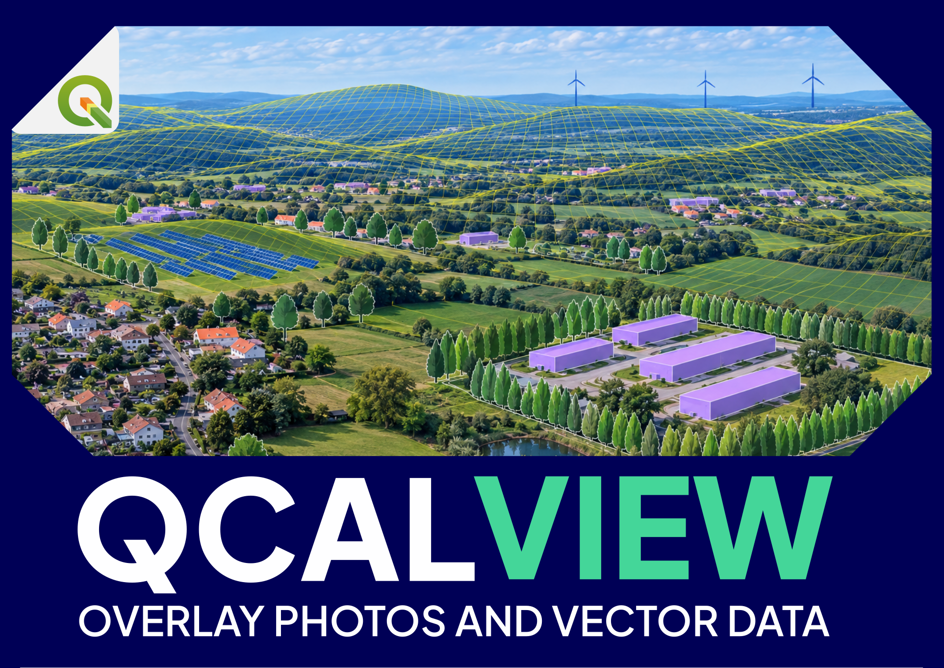
Once the camera is calibrated, QCALVIEW can project QGIS data into the image or into a schematic view.
Typical uses include:
- displaying wind, solar, agrivoltaic, infrastructure or planning layouts;
- projecting points, lines, polygons and raster results;
- adding 2.5D extrusions and schematic motifs;
- comparing alternative layouts, heights, colours or styles;
- testing hedges, screens and other landscape mitigation measures;
- using QGIS map themes to switch between project states;
- creating schematic views when a photograph is unnecessary or unavailable;
- supporting design reviews, meetings and stakeholder discussions with a common geographic reference.
The central question is:
Now that the camera is correct, what can I project, compare and explain in this view?
Continue with Visualize, simulate and communicate.
What QCALVIEW is particularly good at#
QCALVIEW is useful when a study needs more than a binary statement such as “visible / not visible”. It can help answer questions such as:
These indicators can contribute to a more refined discussion of potential visual prominence, mitigation and sensitivity. They are geometric indicators, not automatic landscape-impact scores.
What QCALVIEW is not#
QCALVIEW is not intended to replace:
- professional landscape judgement;
- a complete photogrammetric camera-calibration package;
- a lens-distortion correction workflow;
- a full 3D modelling package such as Blender;
- a DSM/MNS-based visibility engine;
- a traditional viewshed/ZVI tool when a binary territorial visibility surface is all that is required.
Documentation map#
- Quick start — a first calibrated and projected view.
- Calibrating a view — projection, FOV, orientation, terrain and control methods.
- Applied workflows — practical study examples.
- Complete user manual — consolidated reference.
- FAQ — practical questions and troubleshooting.
- Glossary — camera, GIS and visibility terminology.
- Attribute-field reference — every important generated or persistent column name.
- Limitations and good practice — methodological boundaries and checks.
Recommended reading order for a new user#
- Quick start.
- Calibrating a view.
- Visualize, simulate and communicate.
- Keep the glossary and attribute-field reference open when interpreting outputs.