WHY QCALVIEW EXISTS
A different way to think about GIS visualisation.
Perspective should be a way of interrogating geographic data - not automatically a separate production pipeline.
After years working between GIS, photography and visual simulation, I kept encountering the same gap: the map is excellent at describing where things are, but the moment the question becomes “what does this look like from here?” , the workflow often jumps to another application, another data model, or another specialist.
There was also a false choice I wanted to remove: either accept a quick representation that is merely “close enough”, or move immediately into a heavier specialist workflow. I wanted the same tool to support both exploration and control - start fast, then tighten the geometry when the question demands it.
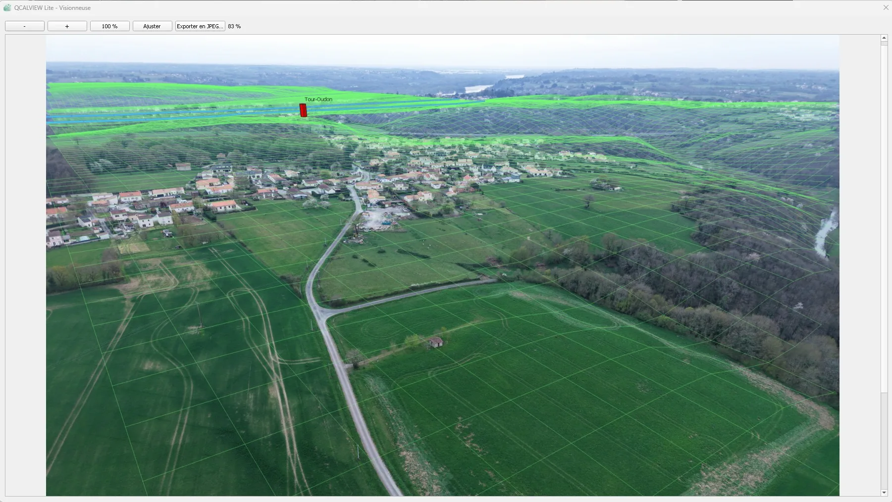
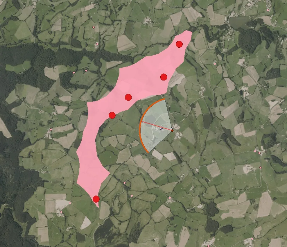
I did not set out to build another 3D viewer. I wanted to make perspective a native way of reading geographic data : keep the data in QGIS, define the observer explicitly, project what matters, use photography when it helps, stay schematic when it does not, and escalate to specialist software only when the deliverable genuinely requires it.
That also changes when visualisation can happen. It does not have to arrive at the end as a finished image. In a meeting, the QGIS project can stay open, the hypothesis can be edited, and the perspective can become part of the conversation itself.
QCALVIEW is the result of turning that idea into a working, open-source tool - so the method can be used, tested and extended well beyond the field in which it was first developed.